News & Updates
Understanding Conflictuality in Lebanon: #DataforChange | فهم النزاع في لبنان: استخدام البيانات من أجل التغيير

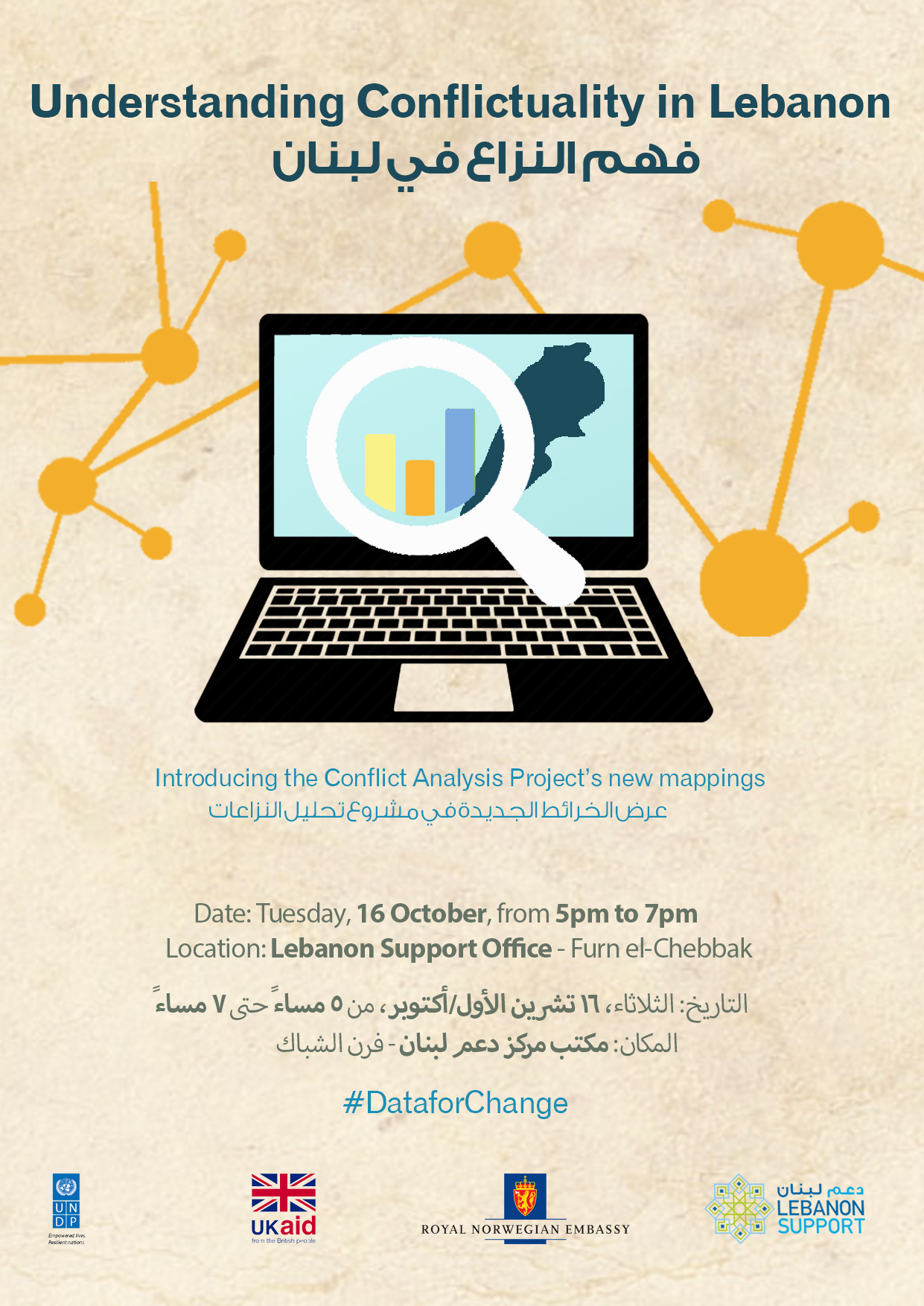
Lebanon Support cordially invites you to the open doors event, introducing the Conflict Analysis Project’s new mappings:
Understanding Conflictuality in Lebanon: #DataforChange
The Conflict Analysis Project (available here), within Lebanon Support’s Civil Society Knowledge Centre, aims at understanding contemporary conflict dynamics and actors in Lebanon, in order to better comprehend their root causes and inform interventions and policy-making. As part of this project, in partnership with the UNDP, Lebanon Support has developed new interactive mappings which provide data and information on the various dimensions of conflictuality in Lebanon, including security operations, mobilisations, and policy decisions: This data serves as a tool for civil society actors, policy makers, and researchers, to produce evidence-based analysis on conflictuality in Lebanon, leading to better tailored interventions on conflict transformation and peace-building.
In order to facilitate a thick understanding of conflictuality, Lebanon Support has developed the below mappings, based on typologies it devised, with each focusing on one conflict dimension:
- The Map of Collective Actions in Lebanon tracks mobilisations by groups of people whose goal is to achieve a common objective [link].
- The Map of State Responses in Lebanon tracks state apparatuses actions relevant to security issues [link].
- The Mapping of Public Actions in Lebanon tracks policy decisions taken by the state or its administration according to the national constitutional laws and regulations [link].
These mappings build on, and delve into the data already available on the Conflict Analysis Project’s data centre, which includes:
- The Geo-Located Mapping of Conflicts in Lebanon, launched in 2014 and that tracks incidents, mobilisations and conflicts between individuals/groups/communities happening across Lebanon, highlighting areas prone to conflict for practitioners and policymakers [link].
- The Conflictivity Index, launched in 2016, aims to give an overview of conflict intensity in Lebanon, through heatmaps focusing on 4 dimensions: Armed Conflict, Security, State Response, and Collective Action [link].
This event aims to present all the mappings in the Conflict Analysis Project’s data centre, and their usability in research, advocacy, programming, and policy.
This event is organised in partnership with the United Nations Development Programme (UNDP).
For further information and confirmation of attendance, contact us on: events@lebanon-support.org before Tuesday, 12 October with the subject line: Understanding Conflictuality in Lebanon: #DataforChange
- Date: Tuesday, 16 October, from 5pm to 7pm.
- Location: Lebanon Support Office (Furn el-Chebbak) [link to map]
Please note that the discussion will be held in Arabic, and translation is not available.
يتشرّف مركز دعم لبنان بدعوتكم لحضور اليوم المفتوح لعرض الخرائط الجديدة في مشروع تحليل النزاعات:
فهم النزاع في لبنان: استخدام البيانات من أجل التغيير
إنّ مشروع تحليل النزاعات (متاح هنا)، وهو جزءٌ من بوابة المعرفة للمجتمع المدني التابعة لمركز دعم لبنان، يهدف إلى فهم ديناميات النزاع والفاعلين فيها في لبنان، من أجل فهم أفضل لأسبابها العميقة وتقديم المعلومات للمتدخّلين وصانعي السياسات. طوّر مركز دعم لبنان خرائط تفاعلية جديدة كجزءٍ من هذا المشروع، بالتعاون مع برنامج الأمم المتحدة الإنمائي، توفّر بياناتٍ ومعلوماتٍ حول الأبعاد المختلفة للنزاع في لبنان، بما في ذلك العمليات الأمنية والتحرّكات وقرار السياسات. تشكّل هذه البيانات أداةً للجهات الفاعلة في المجتمع المدني وصنّاع السياسات والباحثين، لإنتاج تحليلٍ قائمٍ على الأدلّة بشأن النزاع في لبنان، ما يؤدّي إلى تحسين التدخّلات بشأن تحوّل النزاع وبناء السلام.
طوّر مركز دعم لبنان الخرائط أدناه، استناداً إلى تصنيفاتٍ ابتكرها بحيث يركّز كلّ تصنيفٍ على أحد أبعاد النزاع، وذلك بغية تسهيل فهمٍ أعمق لمفهوم النزاع:
- تتعقّب خريطة التحرّكات في لبنان التحرّكات التي تقوم بها مجموعةٌ من الأشخاص تسعى لتحقيق هدفٍ مشترك [رابط].
- تتعقّب خريطة استجابات الدولة في لبنان إجراءات أجهزة الدولة ذات الصلة بالقضايا الأمنية [رابط].
- تتعقّب خريطة الإجراءات العامّة في لبنان القرارات السياسية التي تتّخذها الدولة أو إدارتها وفقاً للقوانين والتشريعات الدستورية الوطنية [رابط].
تستند هذه الخرائط إلى البيانات المتوافرة حالياً في مركز بيانات مشروع تحليل النزاعات والتي تتضمّن ما يلي:
- خريطة تفاعلية لمسح النزاعات في لبنان، تمّ إطلاقها في العام 2014، وتقوم بتتبّع الحوادث والتحرّكات والنزاعات بين الأفراد/الجماعات/المجتمعات المحلّية التي تحدث في لبنان، وتساعد في تسليط الضوء للممارسين وصانعي السياسات على المناطق المعرّضة للنزاعات [رابط].
- يهدف مؤشّر النزاع الذي أطلق في العام 2016 إلى تقديم لمحةٍ عامّةٍ عن كثافة النزاع في لبنان، من خلال تمثيلاتٍ بيانيّةٍ للبيانات تركّز على 4 أبعاد: النزاع المسلح والأمن واستجابة الدولة والتحرّكات الجماعية [رابط].
يهدف هذا الحدث إلى تقديم كافّة الخرائط المتوافرة في مركز بيانات مشروع تحليل النزاعات، وشرح كيفية استخدامها في البحث والمناصرة والبرمجة والسياسات.
يتم تنظيم هذا النشاط بالشراكة مع برنامج الأمم المتحدة الإنمائي (UNDP).
لمزيدٍ من المعلومات وتأكيد الحضور، يرجى التواصل معنا على العنوان: events@lebanon-support.org قبل يوم الثلاثاء 12 تشرين الأول/أكتوبر، بحيث يكون موضوع الرسالة: فهم النزاع في لبنان: استخدام البيانات من أجل التغيير
التاريخ: الثلاثاء، 16 تشرين الأول/أكتوبر، من الساعة 5 مساءً حتى الساعة 7 مساءً.
المكان: مكتب مركز دعم لبنان (فرن الشباك) [رابط الخريطة]
ملاحظة: ستتمّ المناقشة باللغة العربية، والترجمة غير متوافرة.

